Description
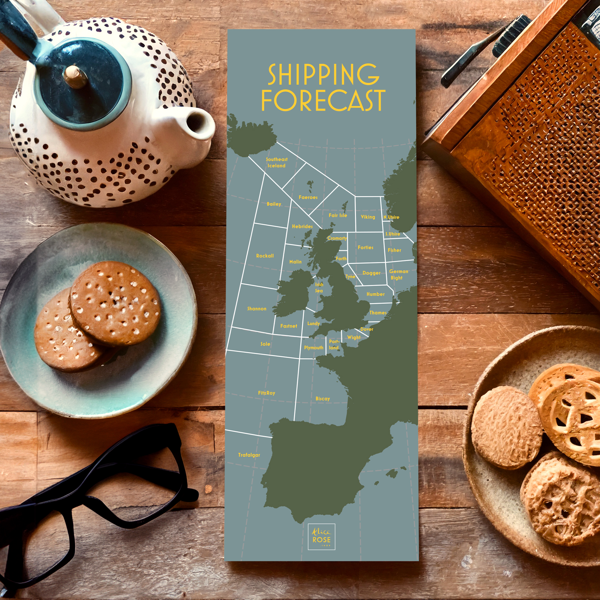
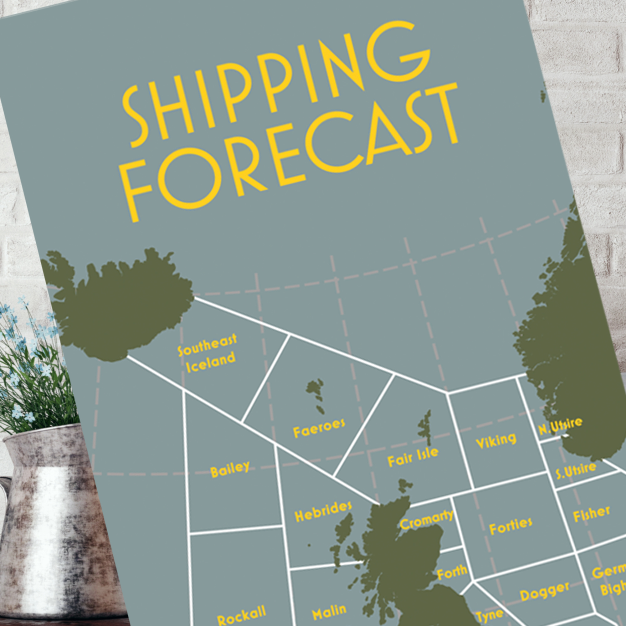
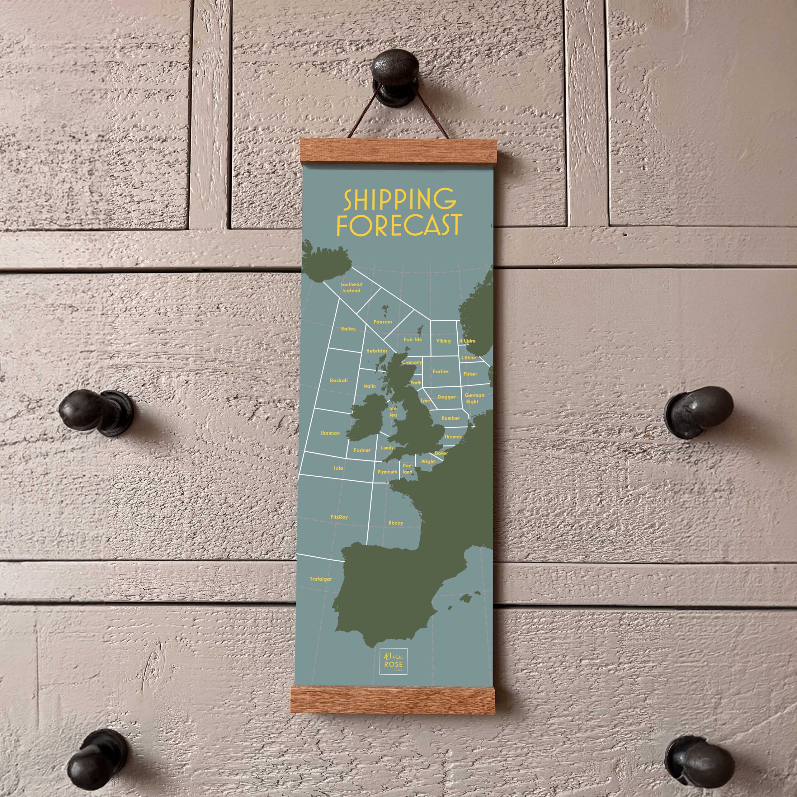
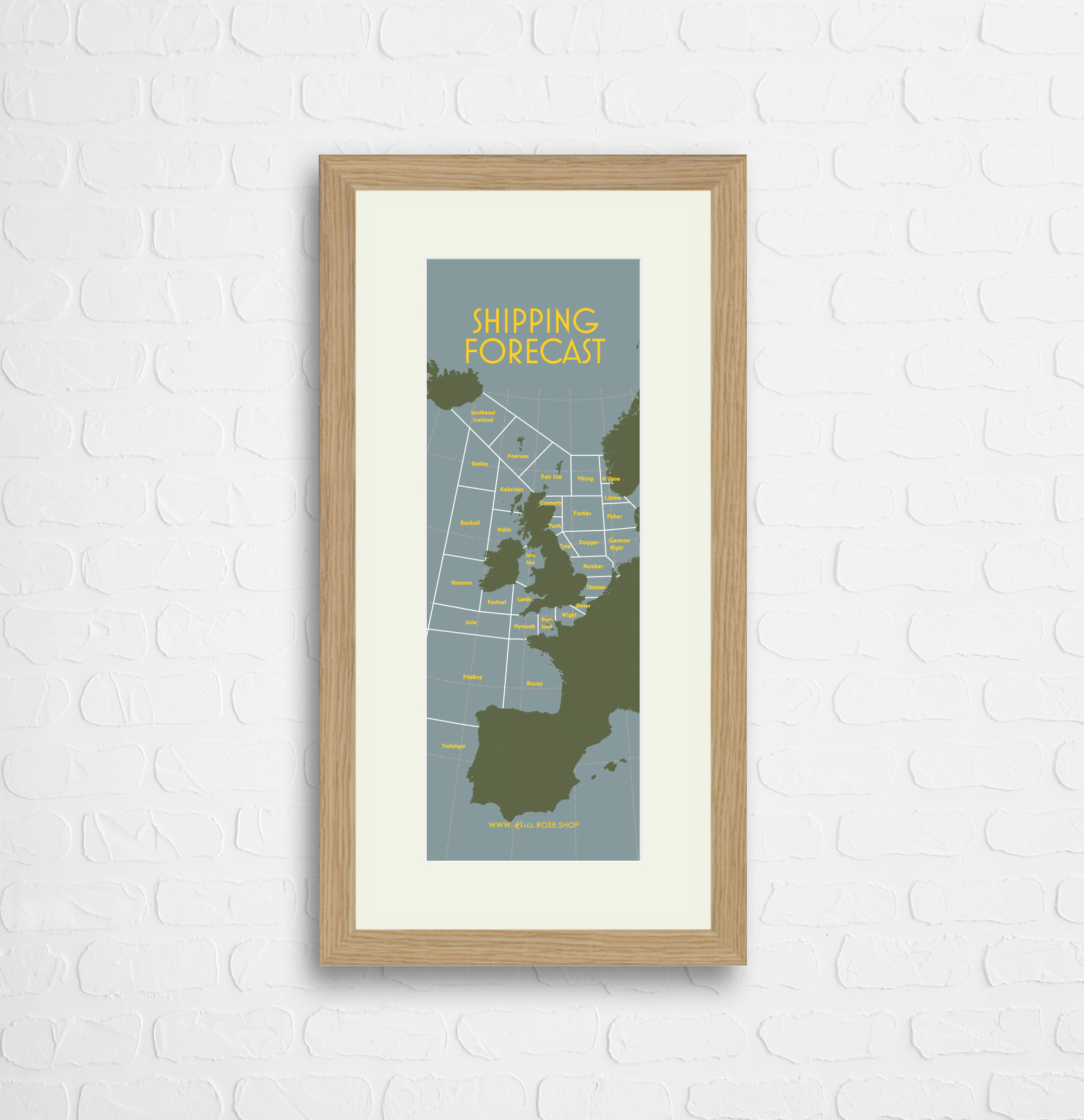
It was first broadcast 150 years ago, and the names of the 31 sea areas may be reassuringly familiar – but do you know where they are? This reference chart is the perfect gift for Radio 4 buffs, or if you want to put a ‘face to the name’ – and find out where South Utsire, Dogger and German Bight really are!
This chart is printed on Synaps synthetic paper which is waterproof, tear-proof and 100% recyclable. It has a special coated surface with anti-static treatment that gives a smooth matt finish. Made without using harmful polyvinyl chlorides (PVCs). Easy to clean and sits beautifully behind a glass frame too.
This chart will look great in a frame, pinned to a board, with a magnet on the fridge or hanging up. It’s a single sheet, with the chart on one side and a plain back with logo on.
The print dimensions are 148mm wide by 420mm tall. This is the same height as a sheet of A3 card but only half the width.
Oak Frame and mount option – Image size 14.85cm wide by 42cm high. Overall frame size 29.85cm wide by 57cm high.
All of our charts and calendars are designed, made and dispatched from England. They are for fun illustrative purposes only. Before embarking on any projects, expeditions or pub quizzes that rely on the information shown please do refer to expert sources of information!
We try our hardest to accurately portray the colours and scales of the artwork and frames available, however we are very aware that our products will display with some variation depending on the device used to view our website. We are committed to quality products and your satisfaction is 100% guaranteed. If you are not happy with your purchase feel free to get in touch with us and we will make it right.
We are constantly building up our collection of designs so if you have any suggestions or requests please drop us a line [email protected]





Reviews
There are no reviews yet.